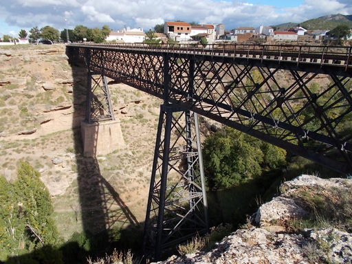
 | Looking at the bridge from the North. | See map. |
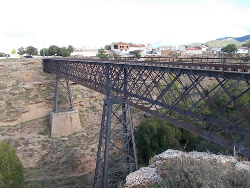 | The bridge from the North. The bridge is 40 metres (130ft) above the valley floor. | See map. |
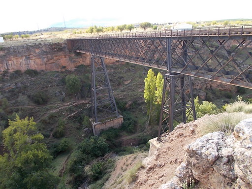 | The bridge from the South. | See map. |
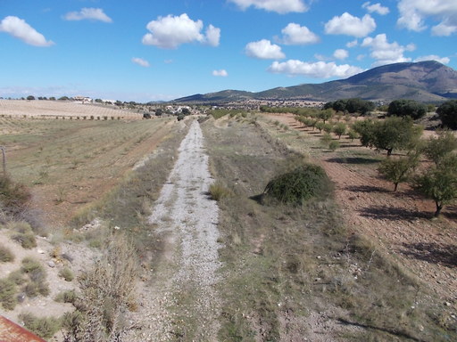 | Track running parallel to the A92 near to Gorafe Station. | See map. |
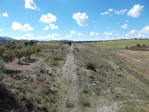 | Track running alongside the A92. | See map. |
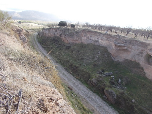 | Huge cutting near to Gorafe Station. | See map. |
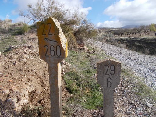 | Approaching Gorafe Station. | See map. |
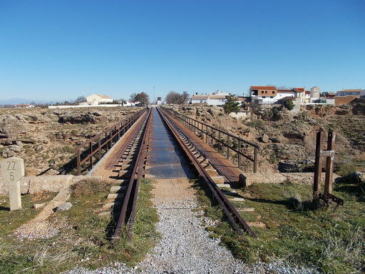 | Looking east across the Arroyo de Baúl bridge towards Baúl. | See map. |
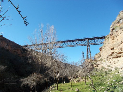 | The bridge from the bottom of the gorge. | See map. |
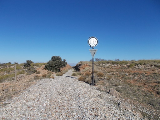 | Looking towards Baúl. A signal at the entrance to a deep cutting. | See map. |
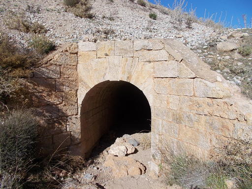 | Long culvert - approximately 30m length. | See map. |
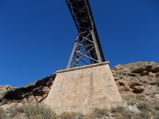 | Support for one of the legs of the bridge. Access is very difficult into this gorge which begs the question as to how it was constructed in those days. | See map. |
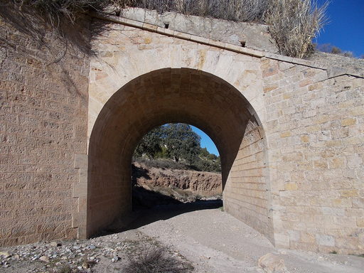 | Culvert/bridge in nearly perfect condition after a century. | See map. |
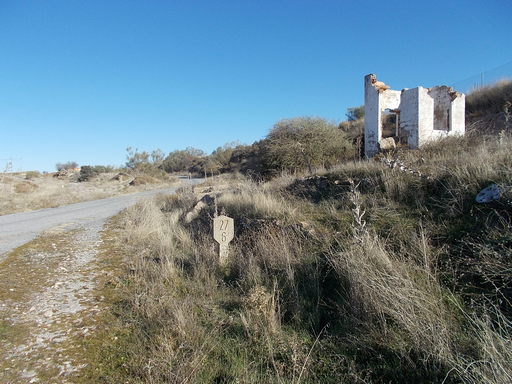 | Remnants of a railway worker's hut next to a well, possibly to supply water for the locos. | See map. |
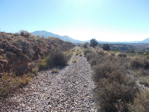 | Beautiful views of the Sierra de Baza from the track. | See map. |
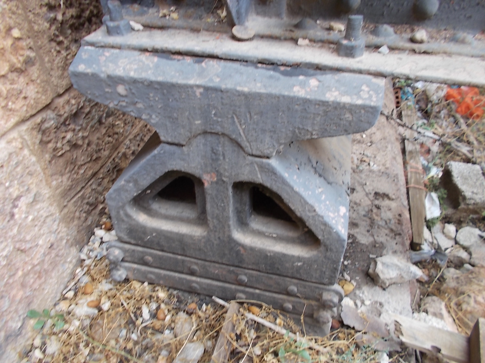 | Support for the River Baúl Bridge. It is designed to allow horizontal and rotational movement due to expansion and contraction. | See map. |
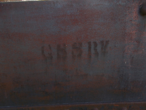 | The legend 'GSSR' etched into the metal of the bridge, showing that it was constructed (probably in Belgium) for The GSSR before this section was sold to The Granada Railway. It was probably done with an oxy-acetylene torch through a stencil. | See map. |