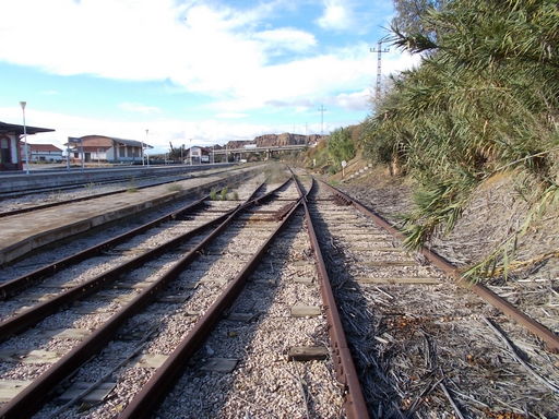
 | The Granada Railway track leading to Hernán-Valle Station from Guadix station.. | See map. |
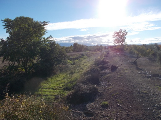 | Level crossing to the north of Hernán Valle looking west towards Guadix. | See map. |
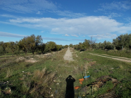 | Level crossing looking towards Hernán-Valle Station. | See map. |
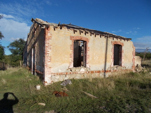 | Track worker's building. At first it looks like a derelict farm house, but further investigation suggests that it is part of the Granada Railway, such as an iron threshhold, a RENFE post in front of the front door, its proximity to the track etc. | See map. |
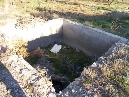 | Water deposit tank, presumably for the engines. | See map. |
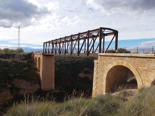 | Iron bridge over Rambla del Grado (Grao). Height above rambla is 32.5 metres (106ft). Construction must have been very difficult due to the remoteness and depth of the gorge. | See map. |
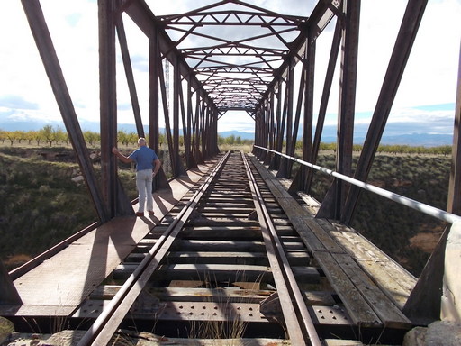 | Looking west towards Guadix. The bridge is still in remarkably good condition. | See map. |
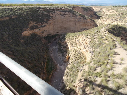 | Looking 32.5 metres (106ft) down into the rambla from the bridge. | See map. |
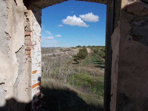 | Looking east through the window of the trackworker's house at the track in the direction of Gor. | See map. |
 | Looking east towards Hernán Valle station. | See map. |
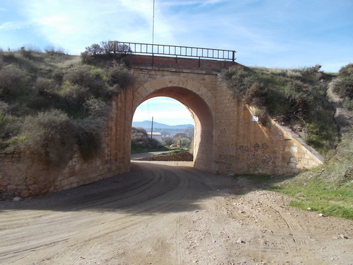 | Bridge over Rambla Zaugena. | See map. |
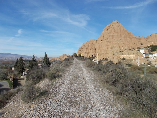 | Looking north towards Hernán-Valle. | See map. |
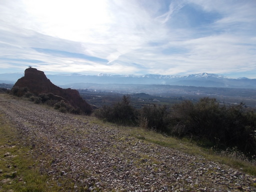 | View of the Sierra Nevada mountains from the track - perfect for tourism. | See map. |
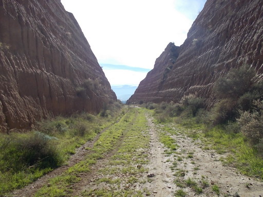 | Impressive cutting. | See map. |
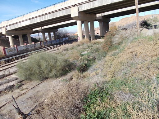 | Looking north from Guadix. The old main line is the one on the right under the grass. | See map. |
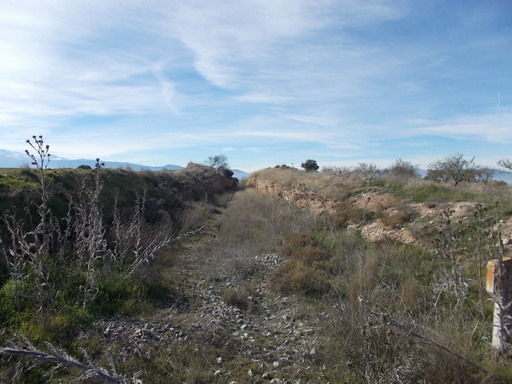 | Looking towards Guadix. | See map. |
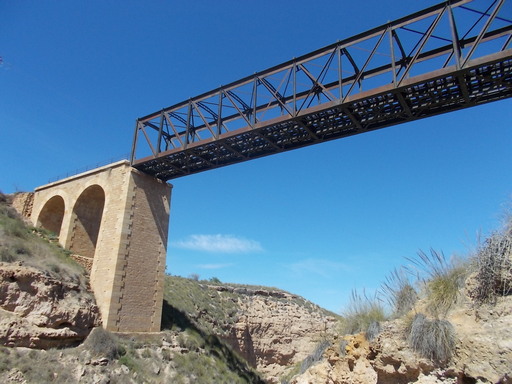 | Bridge over Rambla El Grado (El Grao) from below. | See map. |
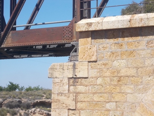 | How did they construct a bridge in this way without cranes? After the stonework was finished they built a wooden scaffold and then rolled the bridge across which was then placed on erect scissor jacks. The scaffold was then removed and the jacks were lowered. | See map. |
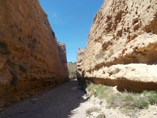 | This huge cutting was created to divert Rambla Seca into Rambla Grado (Grao) to avoid the construction of a bridge over Rambla Seca. | See map. |
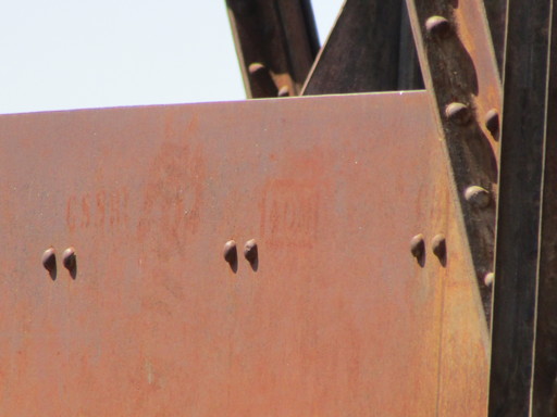 | Beam, part of the Rambla del Grado bridge. One can see the 'GSSR' factory marking (probably made with a steel stencil and a blow-torch). | See map. |
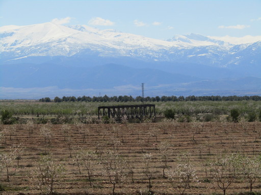 | The El Grado bridge with the Sierra Nevada rising in the background. | See map. |
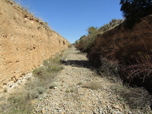 | 3 metre deep cutting which continues for nearly all of the 3 kilometres of track from Hernán-Valle to the Grado bridge. | See map. |
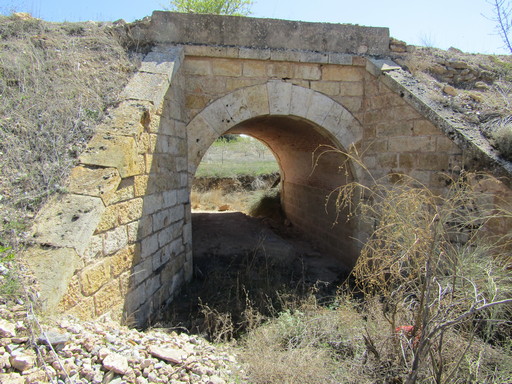 | Culvert over Barranco de las Cuevas. | See map. |
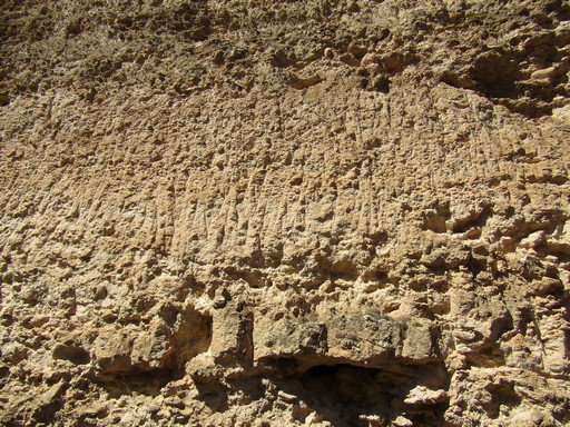 | Pick marks indicating that the cutting was dug by hand. | See map. |