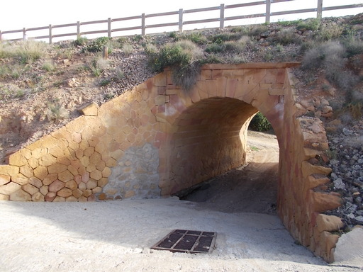
 | Small bridge in the G.S.S.R. style. | See map. |
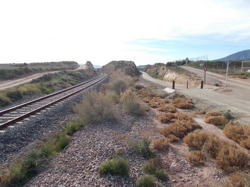 | Looking towards Pulpí (left) and Las Norias (right without track). | See map. |
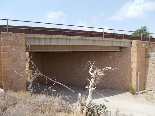 | Bridge over Arroyo de Los Pelegrines. | See map. |
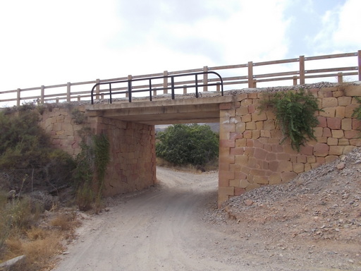 | Bridge over Arroyo de Pozo Rubio - River of the blonde hole. | See map. |
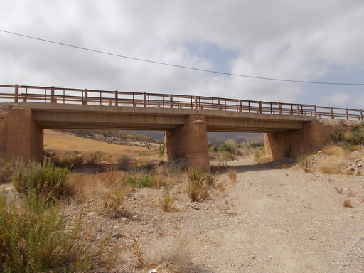 | 40 metre bridge over Arroyo de Peñas Blancas. | See map. |
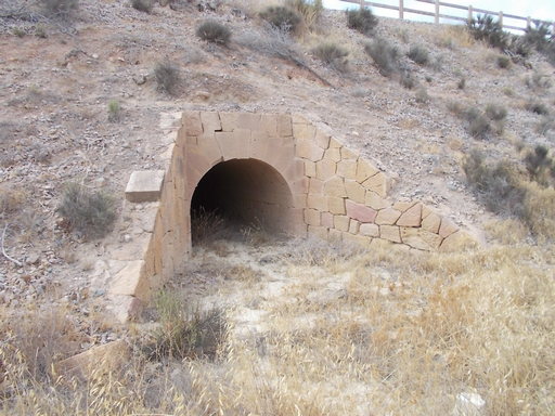 | Culvert through large embankment. | See map. |
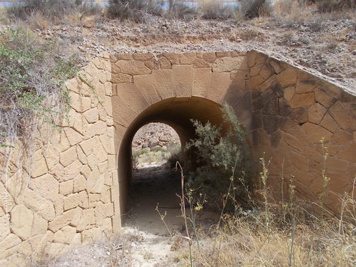 | Other culvert with stonework in good condition. | See map. |
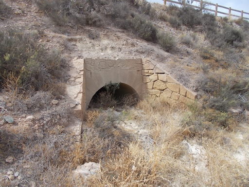 | Culvert. | See map. |
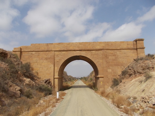 | Road bridge near the border between Andalusia and Murcia. | See map. |
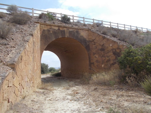 | Stonework bridge in good condition servicing a dirt track. | See map. |
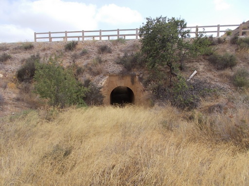 | Culvert under the green route. | See map. |
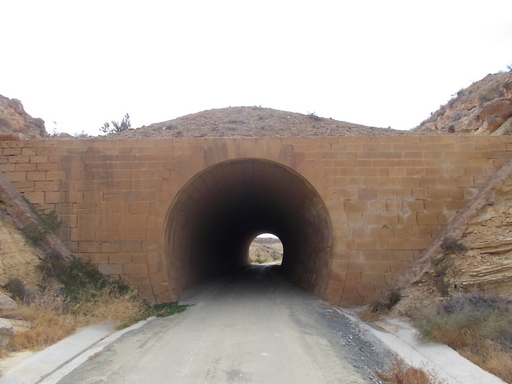 | 50 metre long totally pointless tunnel. The only explanation as to why they built a tunnel instead of a cutting is possibly that originally it WAS a cutting and they had problems at this point with rockfalls, which necessitated the construction of the tunnel to protect the trains. | See map. |
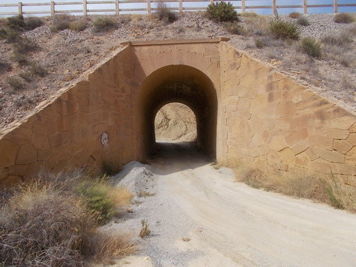 | Bridge over a dirt track. It is hard to describe how remote these bridges are which begs the question how much effort was needed to bring the materials to build these bridges. | See map. |
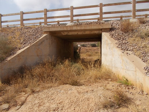 | New concrete culvert. | See map. |
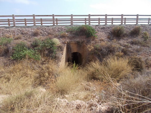 | Original culvert built with travertine. | See map. |
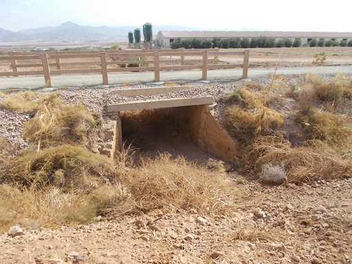 | Original culvert with new concrete span. | See map. |