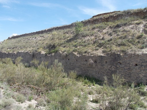
 | The remains of the Tesorero Loader at Km 108. There is still much iron ore left over from when it was in use. | See map. |
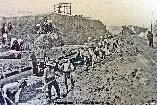 | Construction of the Tesorero Loader in about 1900. | See map. |
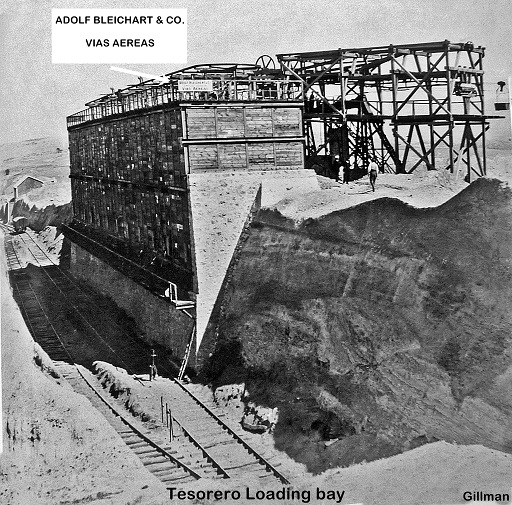 | The loader in use. Photograph by Gustave Gillman. | See map. |
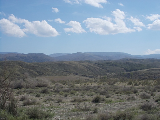 | The mountains from whence the iron ore came over aerial cables, 15km distant. | See map. |
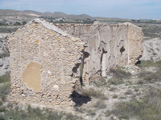 | Loader office, now nearly completely fallen down. | See map. |
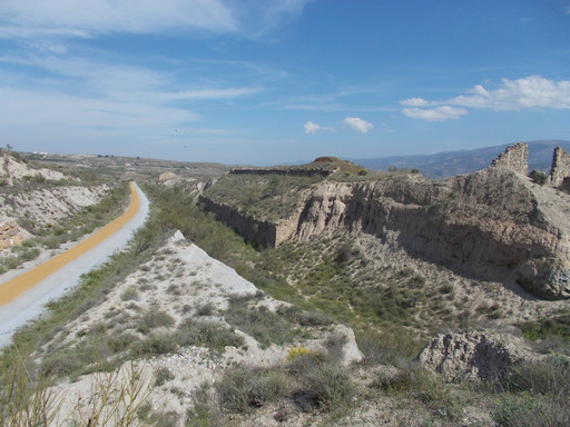 | The loader in poor condition. | See map. |
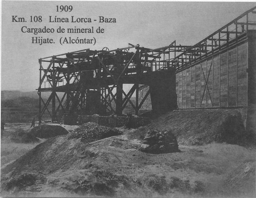 | The loader from the rear (South side) showing the cable gear, the cable coming from the South-West, 8Km from Corbull and 17Km from El Tesorero. | See map. |
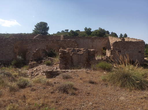 | The Corbull office and Tesorero cable centre, 7.6Km from the Tesorero loader. This is the intermediate station whereby the 450kg buckets were brought over the mountains at 9Km/Hr and down 7.7Km to the loader at Km108 amounting to 40 tonnes per hour. These buildings were probably owned by the company Hispano-Holandesa and this is the point where ore from other mines in the locality were loaded into the buckets. | See map. |
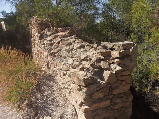 | The base of a support pylon 3.2Km from Corbull in the direction of Km108. | See map. |
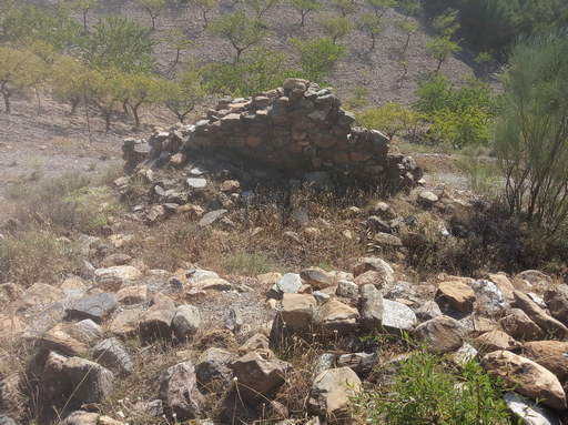 | The base of a pylon 3.1Km from Corbull and 4.6Km from the loader at Km108. A few metres to the North-West there can be seen on the map the trench to allow the buckets free travel. | See map. |
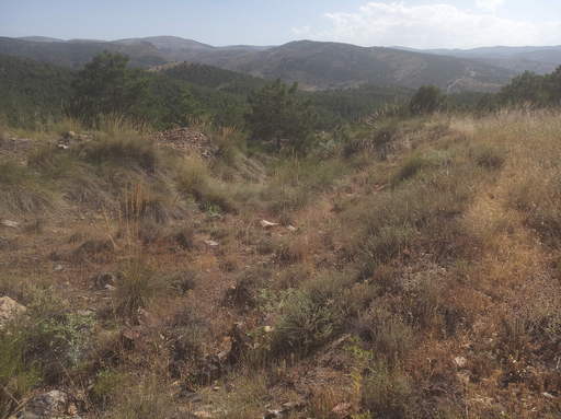 | Trench dug out to allow passage of the buckets coming up from El Tesorero. | See map. |
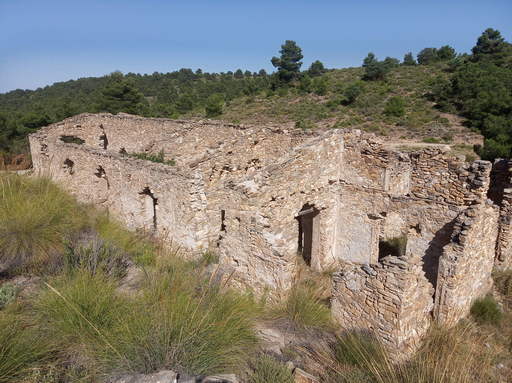 | Corbull main office, warehouse and workshop. | See map. |
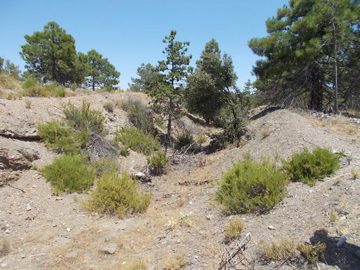 | A cutting to allow the buckets of the cableway to pass up to the intermediate station (El Ángulo). Presumably it was cheaper to pay men to dig the trench than to install higher pylons. | See map. |
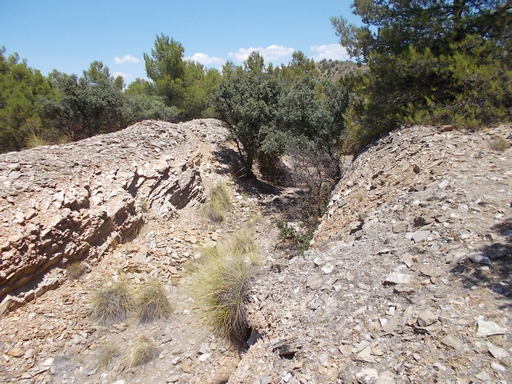 | Cutting on the route of the cable between El Tesorero mine and the intermediate station. | See map. |
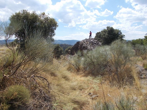 | Trench between El Tesorero and the intermediate station. | See map. |
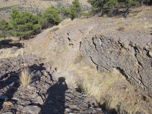 | Large cutting and base for a pylon. There are also two sumps made of stone for the collection of iron ore that overflows from the buckets. | See map. |
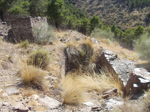 | Large stone sump for the collection of iron ore that has overflowed from the buckets. This was also a base for a pylon. | See map. |
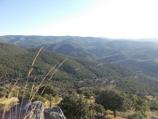 | Countryside in the area of El Tesorero mines showing the remoteness of the area. | See map. |
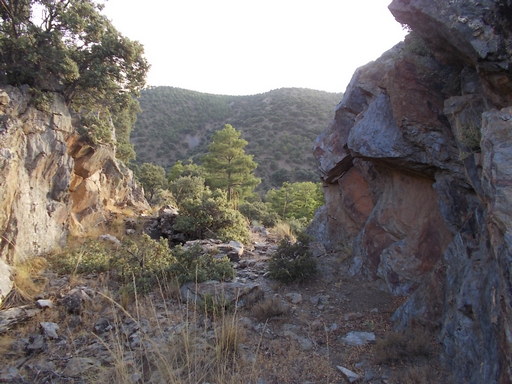 | The first pylon and cutting from the mines affording great views of the loader and El Tesorero offices. | See map. |
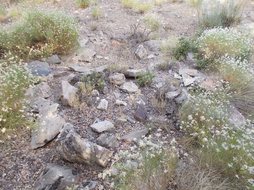 | All that remains of the base of the second pylon from the mines. Because there were excavators preparing for the planting of the pine forests, everything was nearly destroyed, only leaving bits of concrete. | See map. |
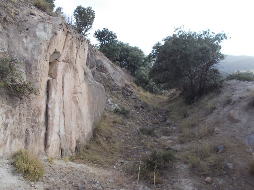 | Second cutting and fourth pylon from the mines. The longest yet encountered. Very little left of the concrete base, but the cutting is quite impressive. | See map. |