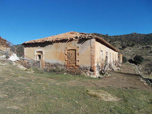
 | The main mining building, now, sadly, a goatshed. | See map. |
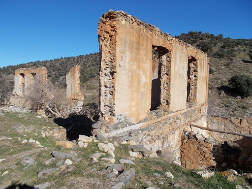 | Remains of the main mine administration building 2km from the village. | See map. |
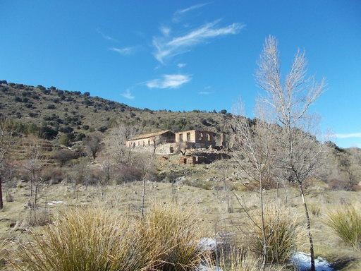 | The Tesorero village from Río Uclías. It is hard to understand how remote this village is without actually being here. This is the living area, the mines were 2km distant. | See map. |
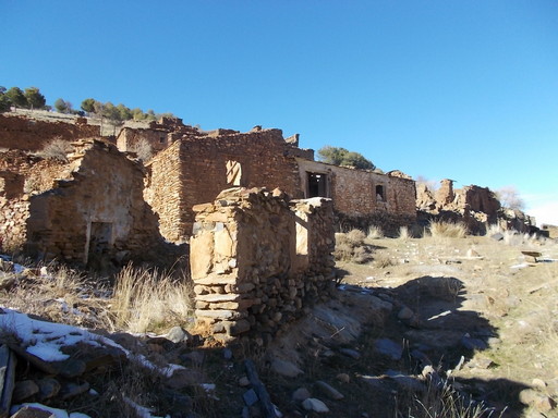 | Some of the ruins of the Tesorero village. This village existed before the mines and not all of the properties were occupied by miners. | See map. |
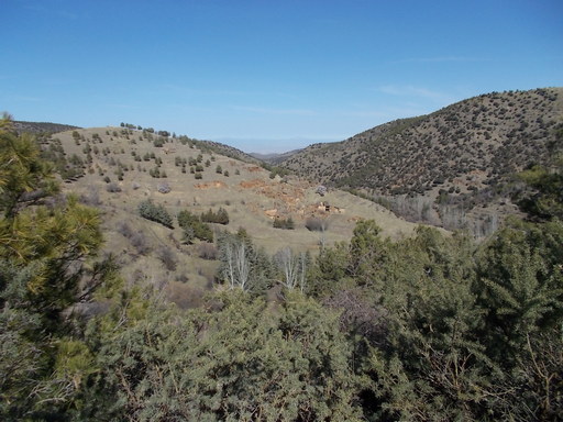 | The village of El Tesorero from the surrounding hills. | See map. |
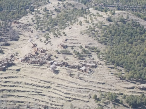 | The whole village of El Tesorero. | See map. |
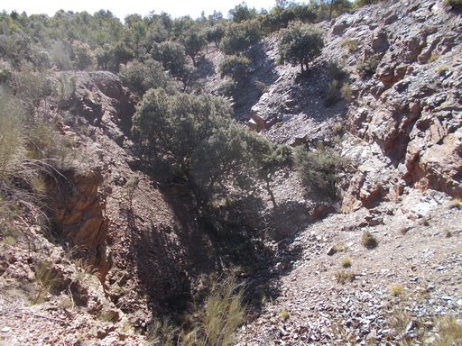 | Hernán Cortés mine. Not much to see here but one can make out where the ore went down to the loader. | See map. |
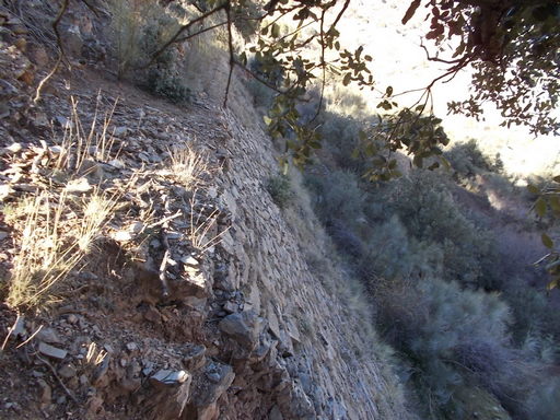 | The loader. This is where the iron ore was loaded onto the Pöhlig two cable aerial cableway to go 17km to the Tesorero loader at Km 108. See cable map. | See map. |
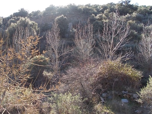 | The loader, partially hidden behind trees. | See map. |
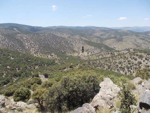 | Photo showing the remoteness of the mines. The arrow idicates the mining offices. | See map. |
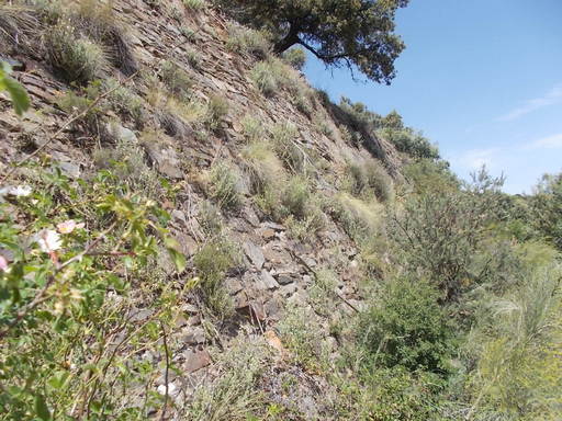 | The back wall of the loader, still in reasonable condition. | See map. |
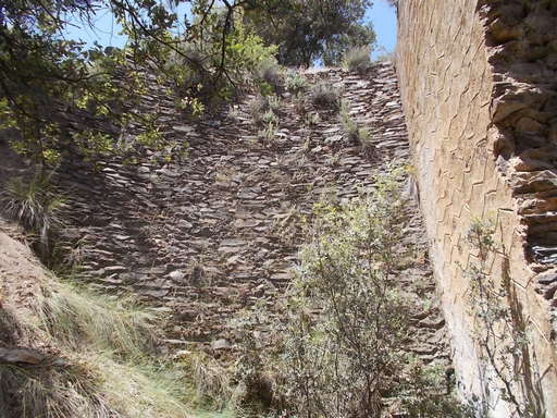 | Rear and side walls of the loader, very much lost in the undergrowth. | See map. |
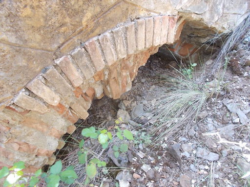 | Arch in the stone side wall. | See map. |