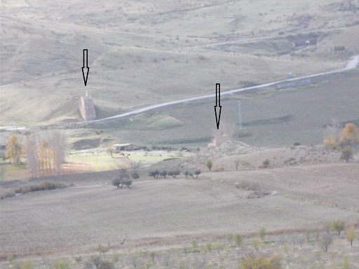
 | Originally, there was a 230 metre long viaduct, but it was found that the terrain was unstable, which made the viaduct dangerous. It was sold in 1923 after being abandoned for over ten years to 'La Línea de Tranvías Eléctricos de Granada a Dúrcal' - all 300 tonnes of it, and was in use until 1974. | See map. |
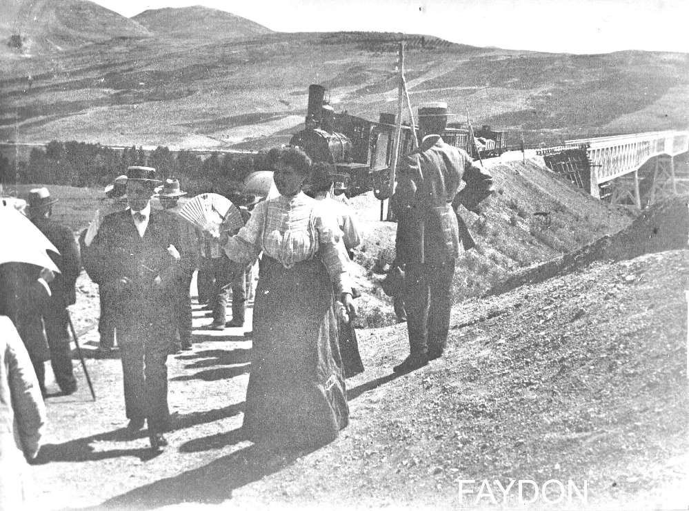 | This photo was taken on 8th July 1909 after the viaduct was declared unsafe. This meant that the passengers had to alight from the train, the train then had to cross the viaduct, and the passengers had to re-board. Presumably, the driver's life wasn't as important! | See map. |
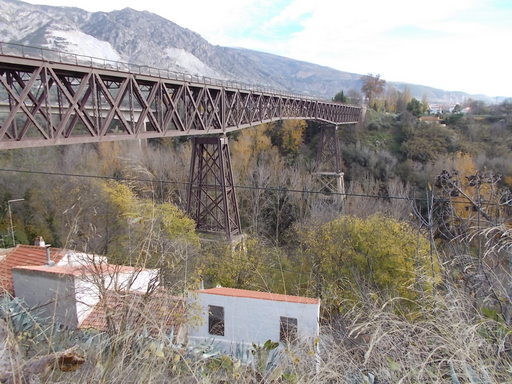 | The viaduct takes pride of place over Río Dúrcal. Nowadays it is just a pedestrian bridge. | See map. |
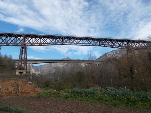 | This viaduct was 230 metres long when it spanned the Gor valley - it is now only 190 metres. It is a spectacular construction which is still, after over 115 years, in excellent condition. | See map. |
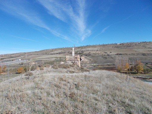 | Looking at the western support of the viaduct and, across the valley, the eastern support (Baza side). | See map. |
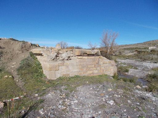 | Second pillar from the west. | See map. |
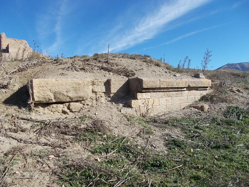 | Third pillar from the West. See The mystery of the missing viaduct. | See map. |
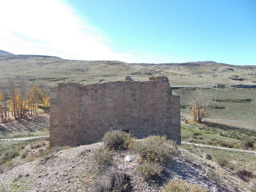 | The easternmost pillar. The pillar had to be reinforced and later demolished and totally rebuilt due to subsidence. Eventually the viaduct was sold to Dúrcal. | See map. |
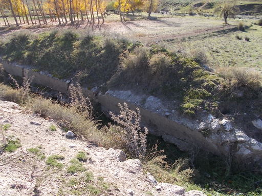 | This is the irrigation canal which contributed to the trouble, 'Acequia de La Mujer' undermining the 4th pillar from the west. | See map. |
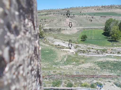 | View from the western pillar showing the three other pillars. | See map. |
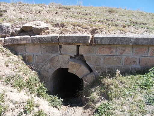 | Irrigation canal "Almaraz" showing signs of ground movement which was a problem for the builders of the viaduct. Being directly above the eastern pillar, it surely added to the problems of water infiltration. | See map. |
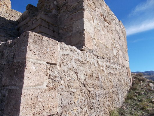 | This is the eastern abutment that caused so much trouble. The original was demolished and this is the rebuilt one. However, the new construction didn't resolve the problem, the abutment sliding down the incline putting huge stress on the iron viaduct. | See map. |
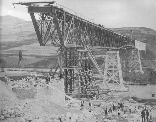 | 1909 photograph by Gustave Gillman showing the attempt to stabilize the viaduct by rebuilding the eastern abutment. Unfortunately, this didn't work and the viaduct was abandoned for a smaller bridge 600 metres upstream. | See map. |
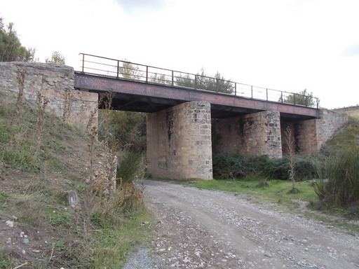 | The replacement bridge which stayed in use until 1985 when the whole line was closed. | See map. |